Our surveys

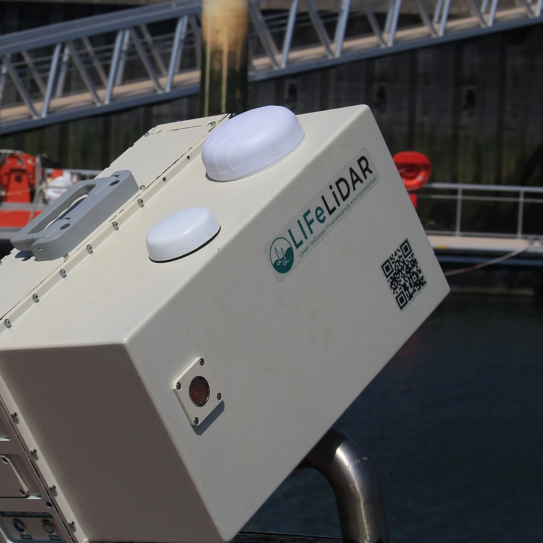
LIFeLiDAR, laser-induced fluorescence instruments for water

Water quality,
measured along
the track

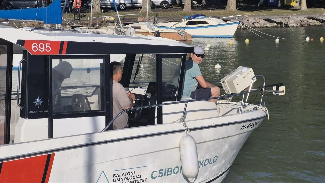
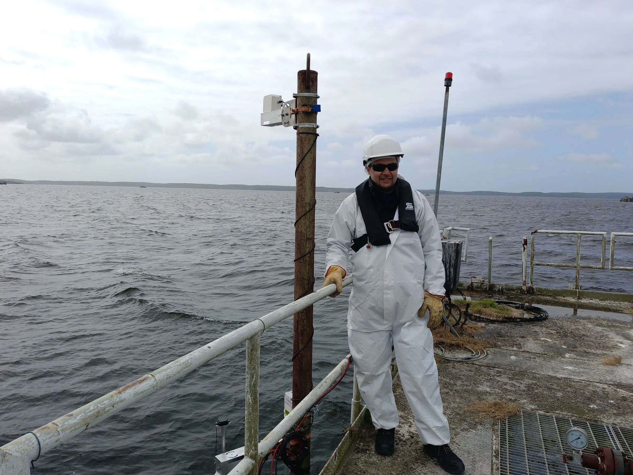
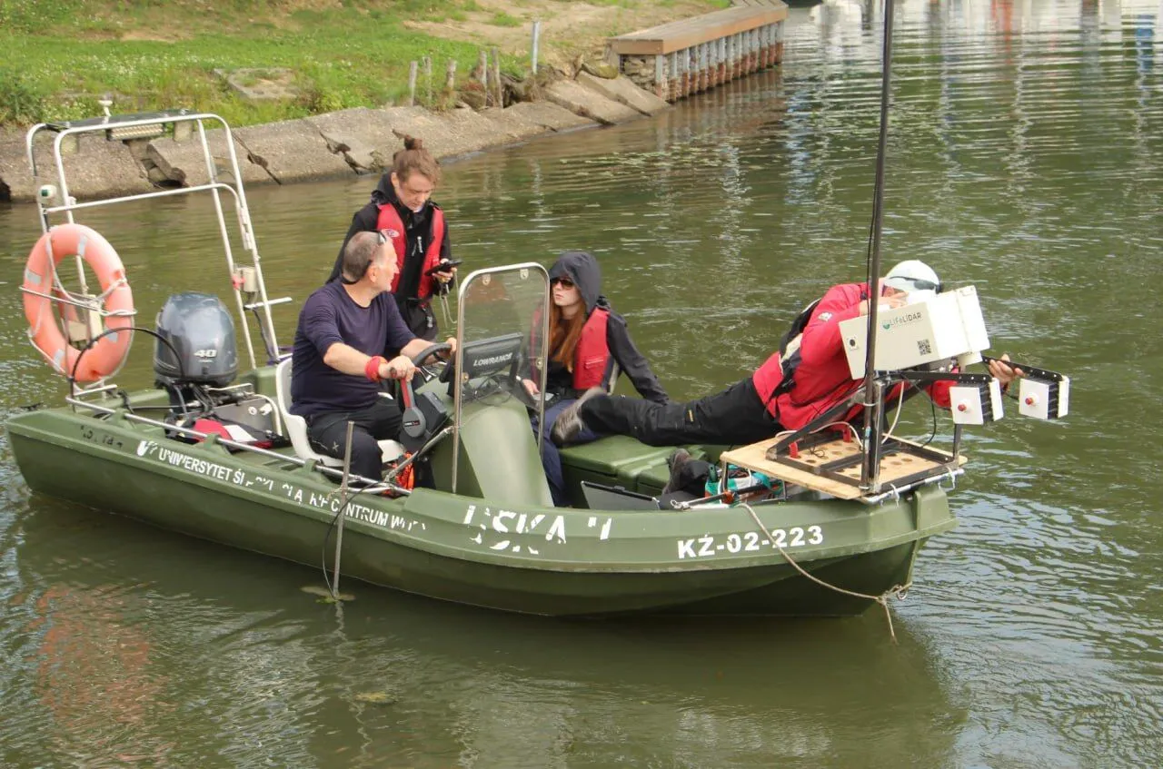
Our instruments measure fluorescence, scattering, and water-leaving reflectance from vessels, fixed stations, and small aircraft, with records tied to position and time

Latest

From the field and the laboratory

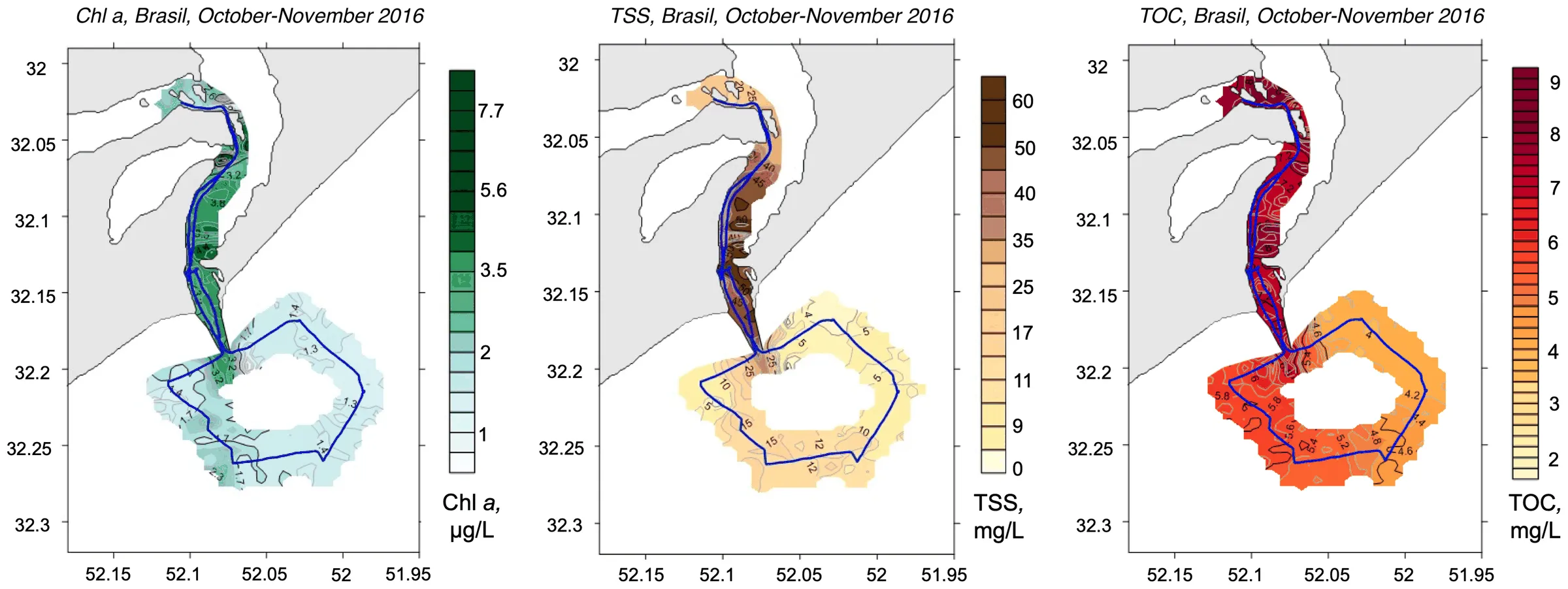
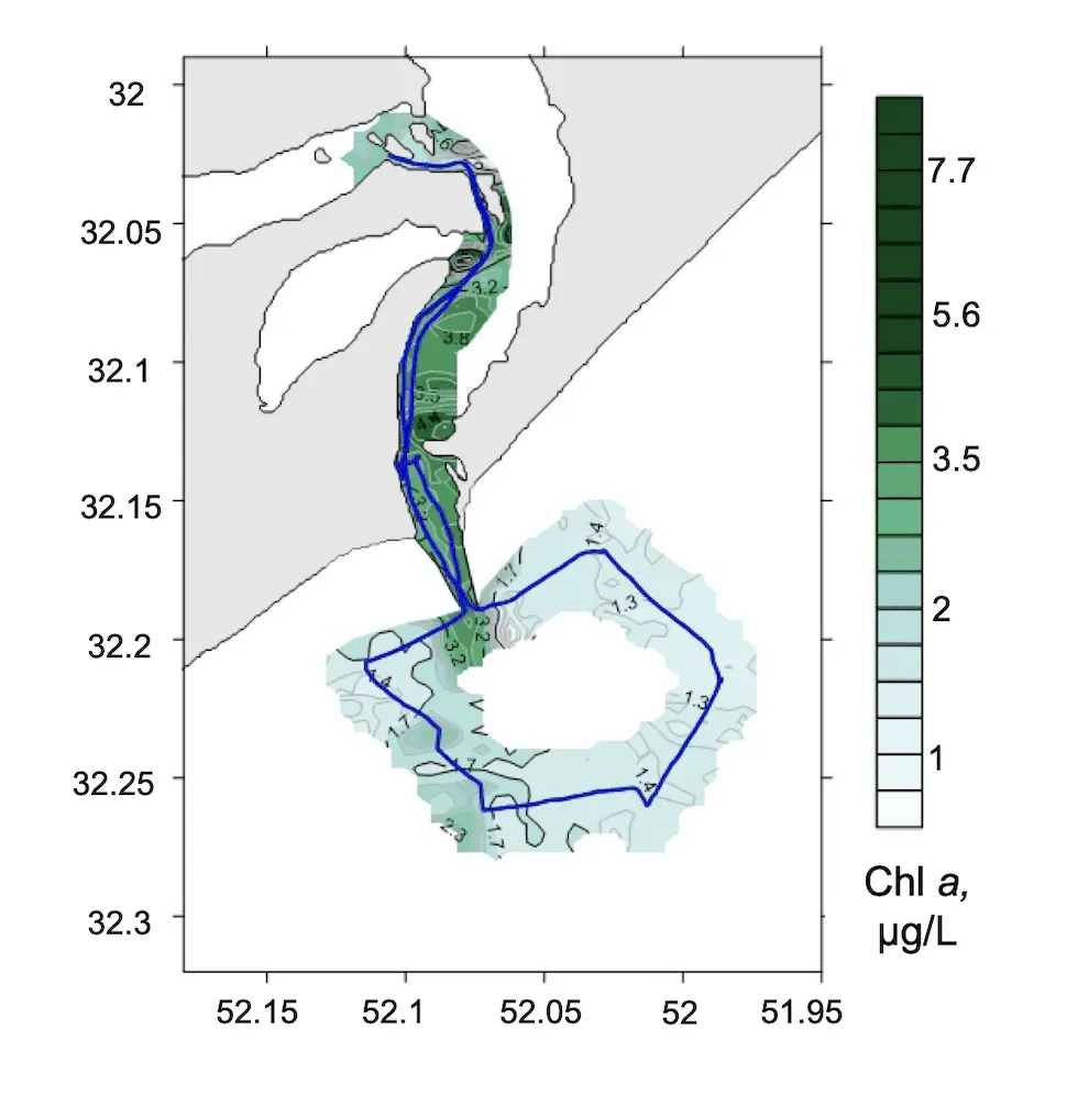
Three interpolated survey maps of Patos Lagoon, Brazil, October–November 2016: chlorophyll a in µg/L, total suspended matter and total organic carbon in mg/L, each over the same vessel track
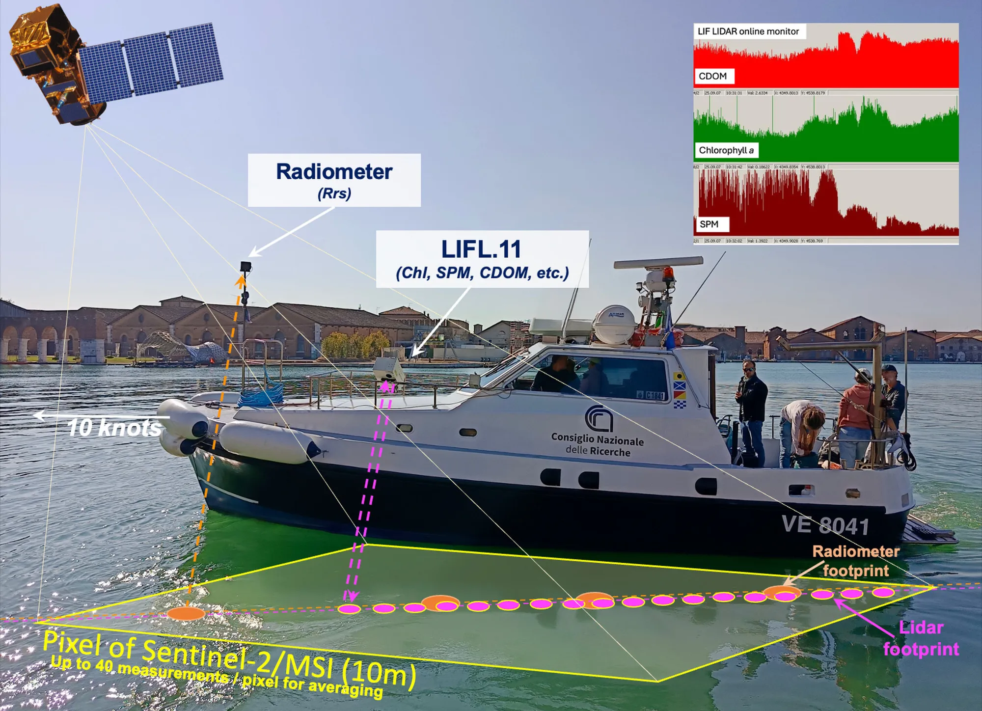
Cal/val geometry in the Venice lagoon: the LIFL-11 and the mHR-2 radiometer on a survey vessel underway at 10 knots, their footprints falling inside a single 10 m Sentinel-2 MSI pixel

Applications

Three routes from measurement to application

Each route is grounded in the instruments, the field record, and the partners involved

Field measurements made for scientific scrutiny

The LIFL-11 has supported studies of phytoplankton, CDOM, suspended matter, and coastal plumes. The resulting record includes peer-reviewed papers and validation work for Sentinel-2 and Sentinel-3.

Review the research record
Three interpolated survey maps of Patos Lagoon, Brazil, October–November 2016: chlorophyll a in µg/L, total suspended matter and total organic carbon in mg/L, each over the same vessel track

Targeted surveys of water quality and contamination

Campaigns can address hydrocarbon releases, harmful algal blooms, wastewater outfalls, and suspended matter in coastal or inland waters. Findings are prepared for port authorities, water boards, regulators, and industrial operators.

Review monitoring services
Cal/val geometry in the Venice lagoon: the LIFL-11 and the mHR-2 radiometer on a survey vessel underway at 10 knots, their footprints falling inside a single 10 m Sentinel-2 MSI pixel

Dense in-situ records for satellite cal/val

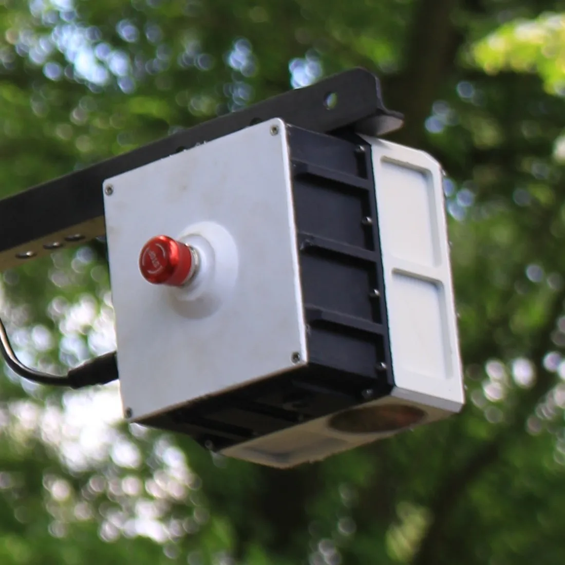
Active LIF measurements and passive Rrs can be acquired together during an overpass. The method has been used with Sentinel-2 MSI and Sentinel-3 OLCI data and can support work with PACE, MODIS, and VIIRS.

Review cal/val services
Field record

More than twenty years of measurements across 50+ water sites

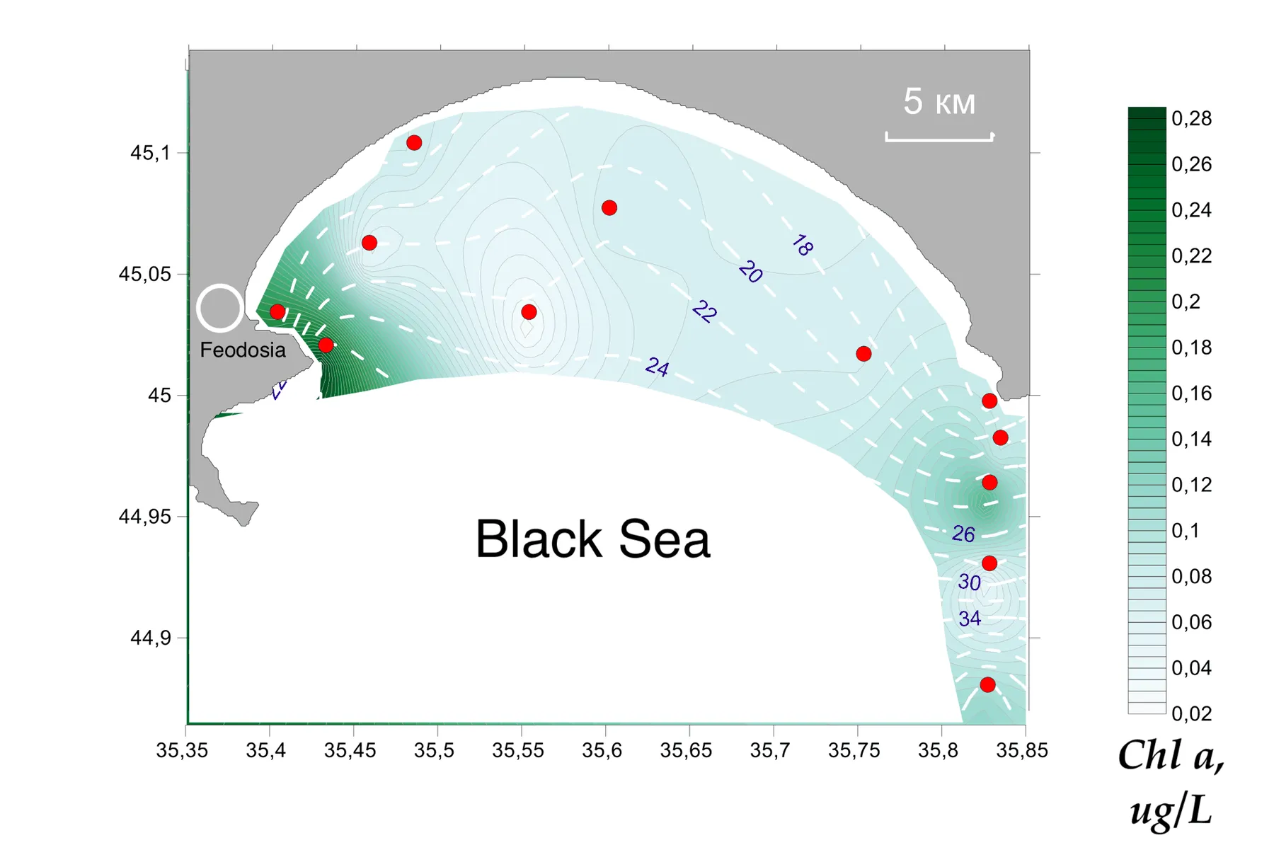
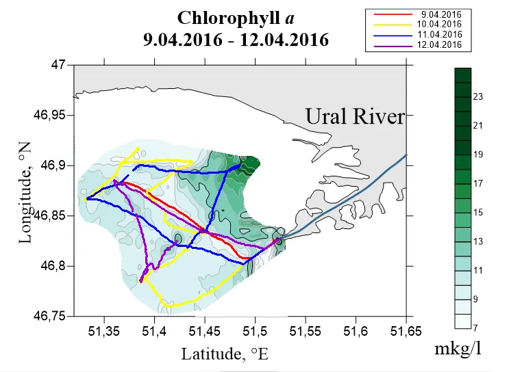
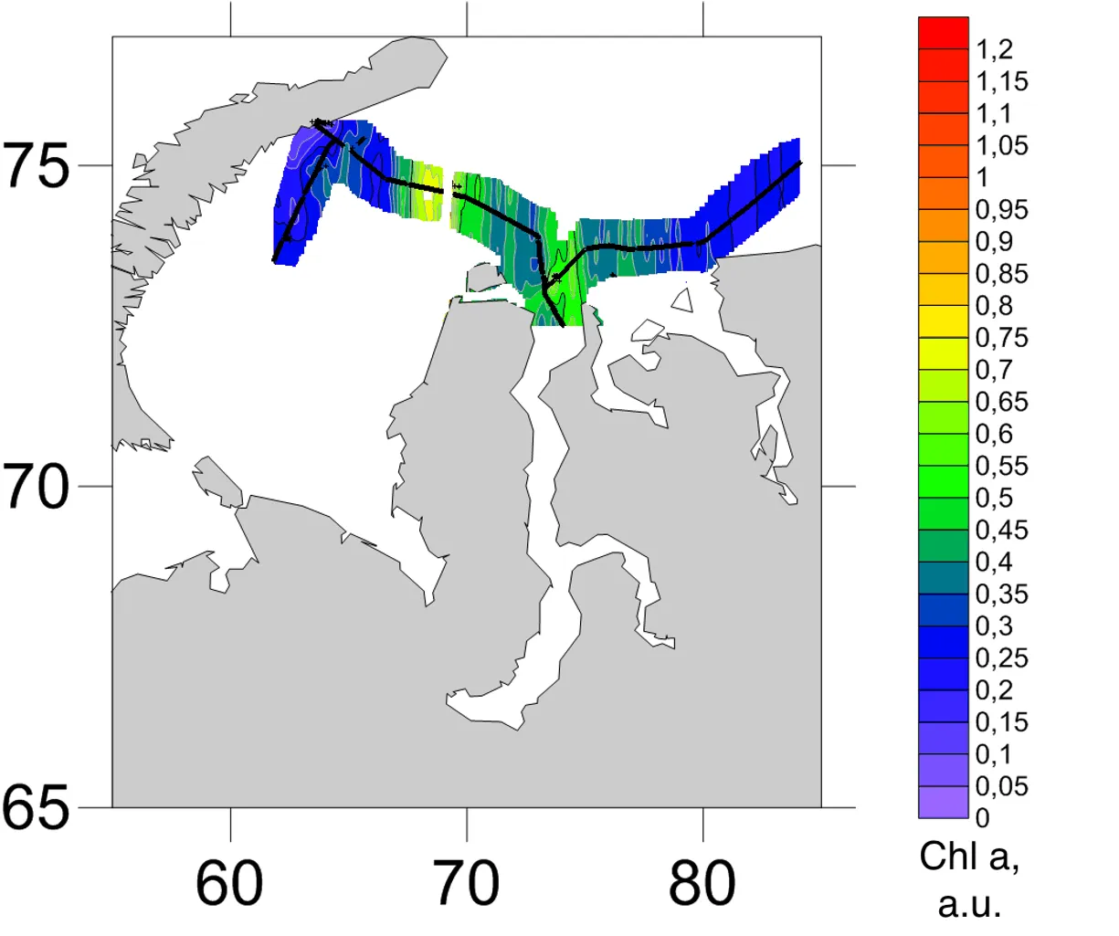
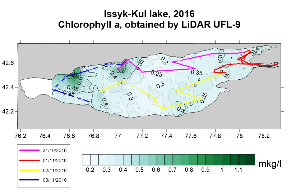
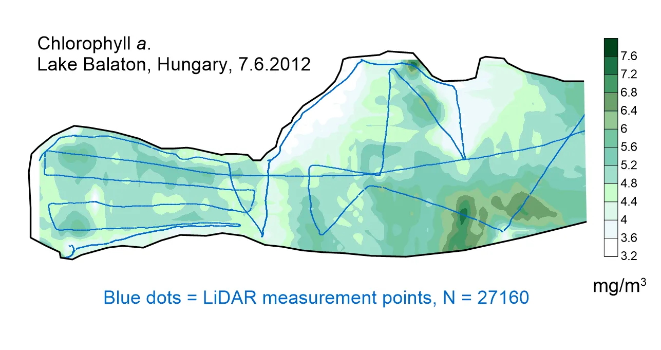
The field record includes the Black Sea, the Caspian, the Arctic Kara Sea, Patos Lagoon in Brazil, Issyk-Kul, the Volga, Lake Balaton, and the Venetian Lagoon. All three current instruments operated together during ESA's PHY2FLEX campaign in Venice in October 2025.

20+
Years
50+
Water sites
~20
Readings per S-2 pixel at 10 kn
15
Publications
Browse the survey record
Contact

Discuss an instrument or survey

Technical enquiries go directly to the team in Sophia Antipolis. We normally reply within two working days.

Office
LIFeLiDAR SAS
Sophia Antipolis, Valbonne, France
+33 7 80 72 60 72
info@lifelidar.com
We use the information you provide to answer your enquiry. See our privacy notice for details.
Newsletter

Field notes, publications, and instrument releases

Occasional notes from the laboratory and the field, sent no more than once a month

No more than monthly, unsubscribe at any time
Follow us on: