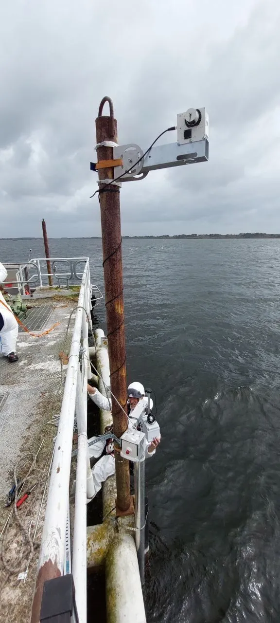
The first OQOMETHI field systems were installed this week at Parentis Lake and at Ambès on the Dordogne estuary. Each site carries one mFL-12 micro-fluorescence lidar and one mHR-2 micro-hyperspectral radiometer, with all four instruments operating unattended.
The instruments provide complementary observations at the same place and time. The passive mHR-2 derives Rrs from downwelling irradiance, sky radiance, and sea-surface radiance. The active mFL-12 records fluorescence associated with constituents such as chlorophyll-a and CDOM. Together, the pair links a water-quality record with the reflectance measured for satellite comparison.
Both sites collect two measurement cycles per hour, during the day and at night, without an operator on site. This cadence is intended to show short-term variation that is difficult to observe through discrete field sampling alone.
The deployments form part of OQOMETHI, funded under France 2030 through ADEME’s Innov’Eau call. vorteX-io coordinates the consortium, with Magellium responsible for satellite processing and LIFeLiDAR responsible for the optical instruments. A web portal for near-real-time access to the data is in development.