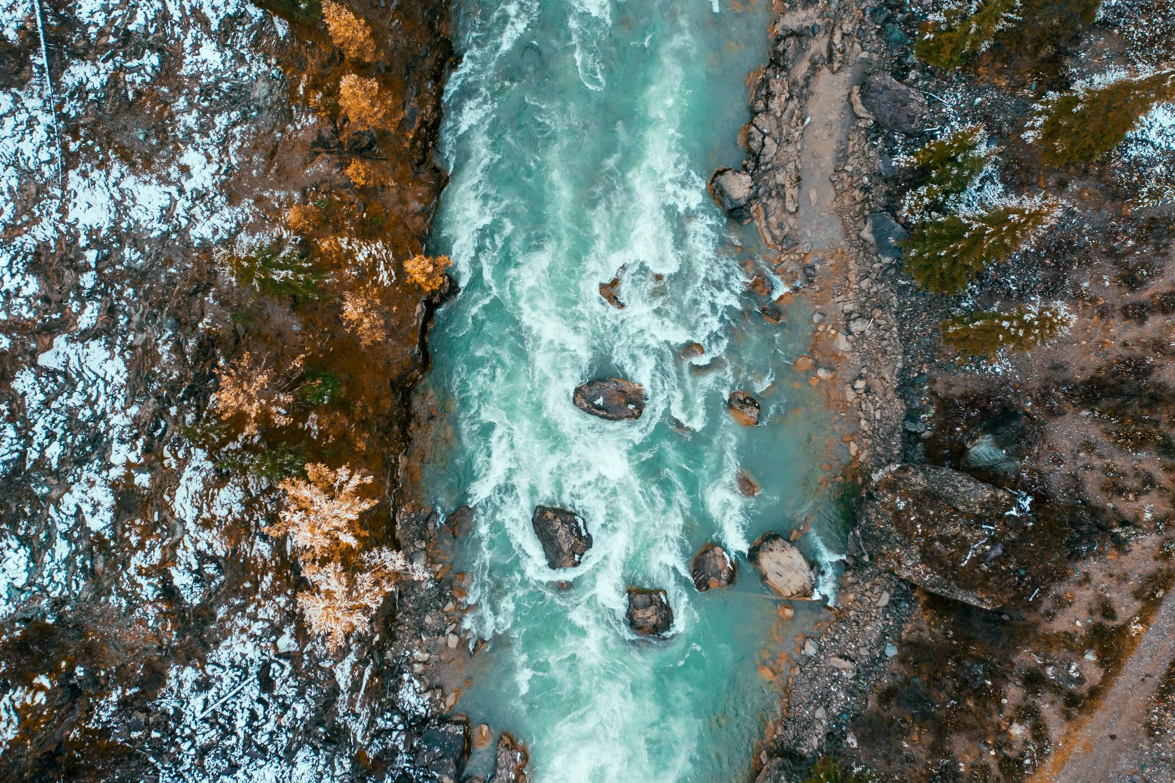
A glacial-fed river seen from directly above, turquoise water running between rocky banks
OQOMETHI

Multi-scale water quality observatory

Up to 1,000 micro-observatories on French lakes, rivers, and coastal lagoons, reading chlorophyll-a, suspended sediment, and dissolved organic matter at high frequency and calibrating the satellite products above them

Discuss collaboration Funded by France 2030, ADEME

Problem

The lakes, rivers, and coastal lagoons the Water Framework Directive covers are monitored at whatever density a person carrying a bottle can reach. Whole classes of water body stay underrepresented, and the record that does exist is too sparse in time to show what a discharge did or whether a policy worked.

Approach

Each micro-observatory sits above the water on infrastructure that already exists, usually a bridge, which keeps the optics out of contact with the water and out of the corrosion and maintenance that contact brings. It pairs laser-induced fluorescence with miniaturised hyperspectral radiometry to read chlorophyll-a, suspended sediment, and dissolved organic matter at high frequency, through the night as well as the day, and streams to the MAELSTROM platform, where the same measurements calibrate the satellite products covering the same water.

Outcome

The programme produced the mHR-2 passive micro-hyperspectral radiometer, which derives Remote Sensing Reflectance (Rrs) for satellite match-up, and which was field-tested with ESA at Venice during the PHY2FLEX campaign in October 2025. The deployment target is up to 1,000 micro-observatories nationwide, carrying real-time water quality to fisheries, tourism, hydropower, and agriculture.

Our contribution

LIFeLiDAR develops the micro-scale LIF lidar and the miniaturised radiometric prototypes each station carries, and delivered the mHR-2 as a project deliverable. The micro-stations, the data platform, and the satellite processing chain belong to vorteX-io, who coordinate the consortium, and to Magellium.

Enquire about OQOMETHI

Programmes are scoped one consortium at a time. If your team is preparing a call response, drafting an institutional partnership, or sourcing in-situ data for a satellite mission, the team replies directly, usually within two working days.

Direct
LIFeLiDAR SAS
Sophia Antipolis, Valbonne, France
+33 7 80 72 60 72
info@lifelidar.com
By submitting, you consent to your enquiry being processed under GDPR.