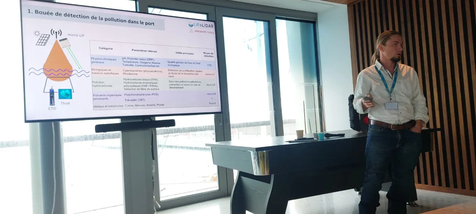
LIFeLiDAR took part in the second round of Réinventer les Ports d’Antibes alongside Adequate Tools. The programme was led by Riviera Ports with CASA, the Fondation Sophia Antipolis, and La French Tech Côte d’Azur. Our contribution described an instrument layer for continuous port-water observation.
Ports are shallow, enclosed, and heavily trafficked. A release can disperse between scheduled samples, while parts of the infrastructure requiring inspection remain below the surface. The concept therefore combined fixed observations, mobile mapping, and an underwater measurement capability.
A fixed buoy would establish a continuous baseline using conventional multiparameter sensors and a micro-LIF lidar. A surface drone could then map selected areas of the basin, while an underwater vehicle would examine the water column and submerged structures. The LIFL-11 would provide wider surface coverage from a moving vessel.
The underwater element draws on SubseaLIF, our development work with Adequate Tools on an underwater laser-induced fluorescence lidar. The instrument remains in development, so the Antibes presentation described a proposed monitoring architecture rather than a currently available system.