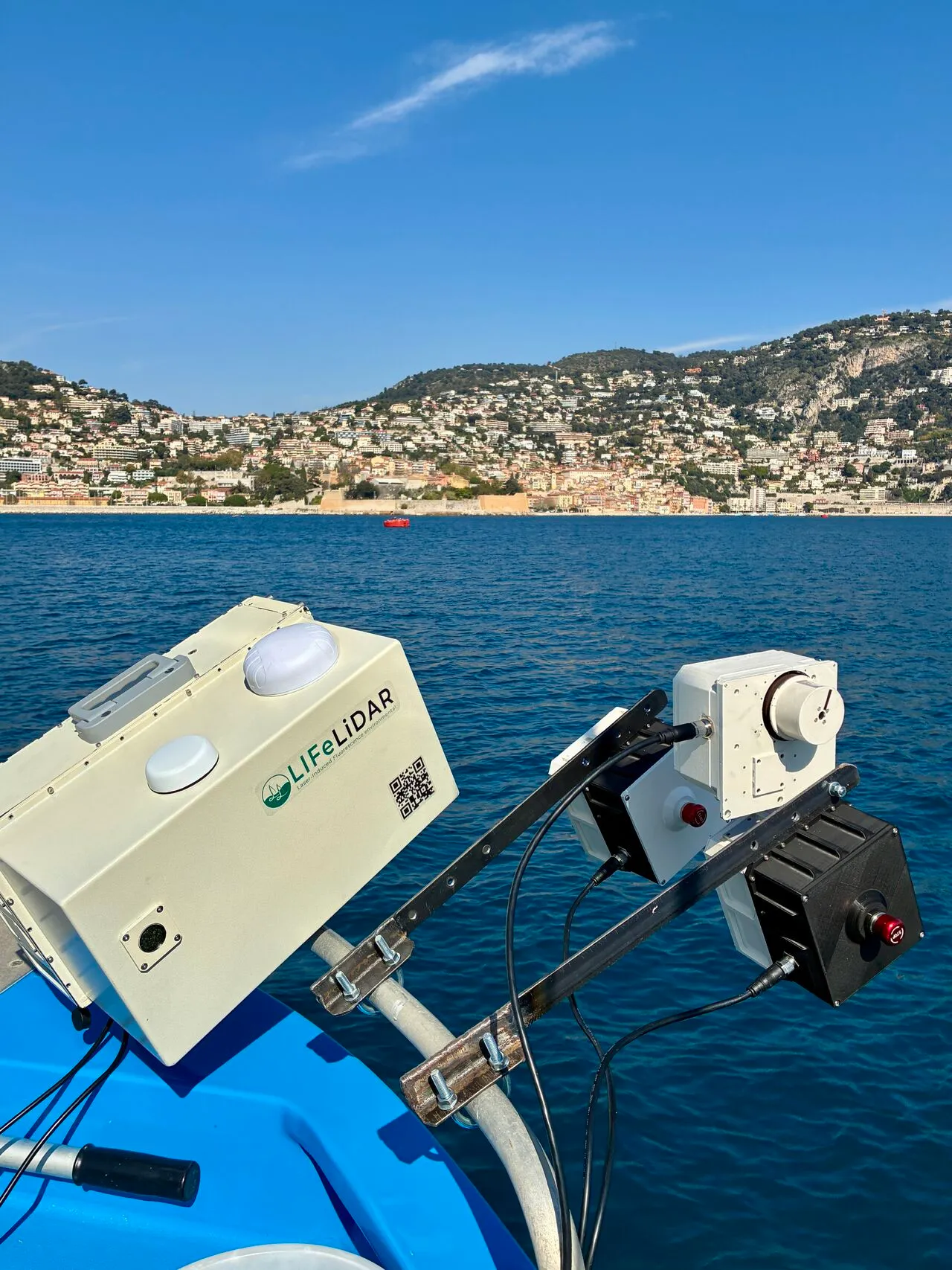
The LIFL-11 and a second instrument mounted on the rail of a survey vessel, the town of Villefranche-sur-Mer on the hillside behind
2026-03-24, LIFeLiDAR Team, field

Profiling mode goes to sea

Five instruments went into the Bay of Villefranche-sur-Mer on 19 March, and the LIFL-11 ran its profiling mode in real conditions for the first time

On 19 March we ran a field campaign in the Bay of Villefranche-sur-Mer with five instruments aboard, in collaboration with the Laboratoire d’Océanographie de Villefranche (CNRS-SU), whose support made the measurements possible. The vessel carried one LIFL-11 and two mFL-12 lidars putting laser light into the water, with two mHR-2 radiometers reading the surface passively beside them.

The campaign existed for one reason. The LIFL-11 has a profiling mode, and until 19 March it had run only under conditions we controlled. A bay with a vessel moving under it, sun on the surface, and real water underneath is the test that laboratory work cannot substitute for, and the mode ran there for the first time.

The transit included the EOL3 buoy, where in situ measurements were taken against the instruments. That pairing is the whole method: the buoy provides the independently measured value, the lidar provides its own reading of the same water at the same moment, and the difference between the two is what tells us whether the instrument is right. A sensor that has not been put beside a reference has not been validated, only operated.

Our thanks to the Laboratoire d’Océanographie de Villefranche, and to the captain and crew who took us out and brought us safely alongside the buoy.

Originally posted on LinkedIn